IN Brief:
- Ukraine wants 100% of frontline drones equipped with computer vision and AI, including positioning without GPS.
- Matt McCrann argues that specialised capability installed separately on every drone creates cost, integration, and scaling constraints.
- SPARC AI advocates a software-defined, hardware-agnostic positioning layer capable of operating across mixed autonomous fleets.
Ukraine’s ambition to equip every frontline drone with computer vision and artificial intelligence is placing a second engineering problem alongside the immediate requirement for GPS-denied navigation: how to reproduce resilient autonomy across extremely large and heterogeneous fleets without turning each airframe into a separate integration programme.
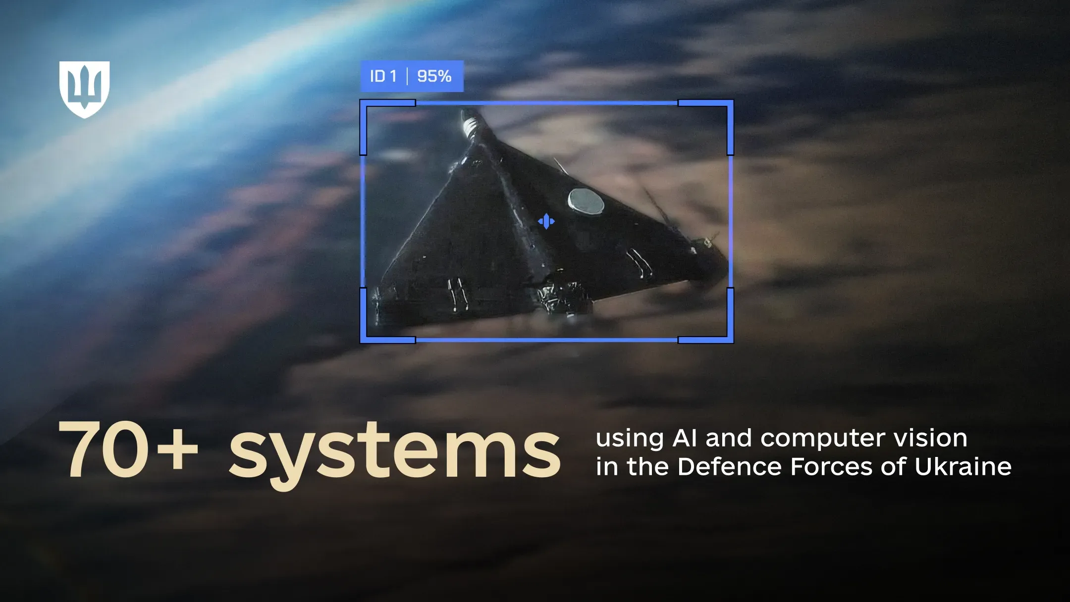
The Ministry of Defence said on 18 August that Ukrainian forces already use more than 70 systems incorporating AI and computer vision, while more than 200 domestic companies are producing AI-enabled drones. Brave1 Market lists 46 AI solutions covering areas including target recognition, optical stabilisation, and automatic terminal guidance.
The ministry’s stated objective is to ensure that 100% of frontline drones are equipped with computer vision and AI capability. One application is visual navigation, where algorithms analyse terrain and landmarks and compare them with stored maps to establish position without a GPS signal, including by day and night.
That requirement reflects the increasing difficulty of assuming reliable satellite navigation in an electronically contested environment. Jamming can prevent a receiver establishing an accurate fix, while spoofing can provide misleading position data. Communications links can also be disrupted independently, leaving an unmanned system without conventional navigation or continuous operator control.
Matt McCrann, US CEO of SPARC AI, argues that Ukraine’s target captures the operating environment now facing autonomous-system developers.
“Ukraine’s goal of ensuring that 100% of its front-line drones can operate effectively in contested environments is an important recognition of the operating reality taking shape in conflicts around the world today: GPS-jammed, ‘dirty’ spectrum battlefields are now the default operating environments. The country continues to show how quickly forces must adapt to electronic warfare, and how mission-critical it is that drones and all unmanned systems can maintain navigation, positioning, and target acquisition, even when GPS is denied.”
The difficult part is reproducing that resilience economically across thousands of platforms. A high-performance navigation package can combine inertial sensors, cameras, specialised processors, terrain databases, and other hardware, but every additional payload adds cost, mass, electrical demand, integration effort, and another supply-chain requirement.
Those penalties are manageable on a comparatively expensive long-endurance platform. They become more significant when the aircraft is designed to be inexpensive and attritable, or when production runs into hundreds of thousands or millions of units and several manufacturers use different airframes, sensors, flight controllers, and computing hardware.
McCrann describes this as the “one-to-one” problem. In his view, “requiring specialized hardware and models on each drone may work for individual systems, but autonomy simply can’t scale with one-to-one constraints”.
Ukraine’s industrial structure makes the argument particularly relevant. More than 200 companies producing AI-enabled drones provide rapid experimentation and competition, but they also create a wide set of camera types, inertial sensors, processors, software stacks, interfaces, payload arrangements, and aircraft configurations.
A navigation technology that works on one combination may need calibration and verification before it behaves similarly on another. Even where the same algorithm is used, different camera geometry, sensor noise, processor performance, vibration, temperature, and flight dynamics can change the quality of the resulting position estimate.
SPARC AI is proposing a different architectural approach through its Overwatch platform. The company describes the technology as software-only and hardware-agnostic, using sensors already available on an autonomous platform rather than requiring another dedicated navigation payload.
The attraction is not that software eliminates integration. Overwatch still needs access to appropriate sensor data and has to exchange usable position information with the host platform. Sensor calibration, computing performance, data formats, cybersecurity, and flight-control interfaces remain part of the engineering task.
The potential advantage is commonality. If one software layer can operate across different cameras, low-cost inertial measurement units, and vehicle types, an operator does not need to reproduce an identical specialist hardware package on every airframe before gaining a usable GPS-denied capability.
McCrann argues that resilient positioning should consequently be treated as infrastructure rather than as another platform-specific payload. His proposed alternative is a “software-defined, hardware-agnostic positioning service that can operate in denied settings” and scale across mixed fleets.
SPARC AI has been developing Overwatch around exactly that proposition. The company says the software is intended to correct errors in low-cost inertial sensors and support navigation and target acquisition without adding dedicated hardware, while McCrann was appointed to lead its US operations in March.
There are limits to how far that argument can be generalised. Different missions require different accuracy, assurance, latency, and resilience, and a low-cost software-defined solution suitable for an attritable drone may not replace tactical-grade inertial navigation on a larger weapons platform. Visual navigation also depends on useful imagery and reference data, which may degrade under poor visibility, featureless terrain, damaged sensors, or deliberate deception.
Ukraine is nevertheless pushing the scale of the problem beyond conventional specialist fleets. The ministry already provides shared data through Brave1 Dataroom and Avengers Labs, giving developers common training material while individual companies continue building different aircraft and software.
That creates pressure for common services above the hardware level. Data, navigation, mission planning, target recognition, and software distribution become easier to scale if they can operate across several platform families rather than being rebuilt for every aircraft.
The practical test is accuracy and repeatability rather than architectural elegance. A hardware-agnostic service is valuable only if users know how its errors behave across different sensors and flight conditions and can establish whether the resulting position estimate is sufficient for the mission.
Ukraine’s 100% objective makes that question immediate. Providing computer vision and AI to every frontline drone will require far more than fitting cameras: it will require a scalable combination of data, sensors, compute, software assurance, navigation, production, and fleet management. The one-to-one model can deliver capability to individual aircraft; the harder task is building an autonomy architecture that remains affordable and supportable when the fleet stops being counted in dozens and starts being counted in industrial volumes.