IN Brief:
- AirMatrix announced NRC IRAP support for its largest such research and development project on 9 October.
- The project is supported through Canada’s Defence Industry Assist initiative.
- The software aims to combine information from radar, RF and camera sensors for low-altitude airspace security.
Canadian technology developer AirMatrix has received funding and advisory support from the National Research Council of Canada Industrial Research Assistance Program to develop software for integrating low-altitude airspace sensor information. The company announced the project on 9 October, describing it as its largest NRC IRAP-supported effort to date.
The research is supported through the Defence Industry Assist initiative and is intended to serve defence, public safety and critical infrastructure applications. AirMatrix has not disclosed the amount awarded or provided a timetable for a completed fielded system.
AirMatrix is addressing the technical problem of fragmented sensor observations. A radar may detect an object and estimate its range and movement, while radio-frequency equipment may register emissions from a nearby device. Optical cameras can offer visual information, but their effectiveness depends on light, weather, visibility and target size.
Each sensor also produces data in a different format and with different levels of uncertainty. Creating a common airspace picture requires software that can associate observations from several sources without incorrectly merging different objects or producing multiple tracks for the same target.
The company plans to use AI-assisted processing and automated sensor cueing. A potential application is directing a camera towards an area where another sensor has reported an object, allowing operators to gather additional information without manually coordinating every instrument.
Sensor cueing can improve workflow, but its effectiveness depends on latency and calibration. If the position estimate supplied by one sensor is outdated, a second instrument may be directed towards the wrong location. Clock synchronisation, coordinate conversion and an understanding of the uncertainty attached to each detection are therefore essential engineering tasks.
Low-altitude airspace is especially demanding because objects may appear against buildings, terrain or other clutter. Small drones can be difficult to distinguish from birds or unrelated activity using a single observation. A fused picture may support classification, but the project's stated objectives should not be confused with a verified target-identification accuracy.
Data provenance will matter to security operators. They need to know whether a reported position came from one sensor, several independent sensors or a software-generated estimate. Reliable interfaces should indicate the quality and age of data so users can understand why a track has changed or disappeared.
The project also raises computational questions. A large collection of sensors can generate substantial data volumes, while security operations may require timely responses. Engineers must decide which tasks should run close to individual sensors and which can take place within a central processing environment.
Communications resilience is another factor. Sensor sites may rely on different networks and may lose contact during equipment failures or deliberate interference. The announcement does not establish whether the final system will support local decision-making when some sensors are disconnected, or which network-security controls will be used.
The researchers will also need to examine how the system communicates confidence to users. A false alarm can consume scarce response capacity, while excessive filtering may conceal a real threat. Evaluating those trade-offs requires representative test scenarios and transparent reporting of classification limits.
AirMatrix already works in airspace management and situational-awareness software. The new funding supports an R&D phase intended to extend those capabilities. It is not a procurement announcement for a fixed number of sensors and does not confirm deployment by a named defence customer.
Future evidence will need to show how the project performs against representative sensor combinations, complex traffic and realistic failure conditions. The October milestone is government support for engineering work aimed at integrating sensor data, with operational capability still to be demonstrated.
Interoperability is likely to be a significant research task because sensor manufacturers may use different message structures and definitions. A software integration layer can translate formats, but successful interpretation also requires consistent treatment of units, timestamps and locations. A small error in any of these fields can lead to a misleading fused track even when each individual sensor is functioning correctly.
AirMatrix says the project is aimed at clearer decision support, rather than autonomous weapon engagement. The distinction is relevant to assessing the scope of the research. Combining detections and presenting prioritised information may assist human operators, but the public release does not establish any direct control of defensive effectors or an operational authorisation for such use.
Future testing will also need to document the limits of sensor coverage and the reliability of the combined picture in representative airspace conditions. The funding announcement does not specify operational acceptance criteria or a completed deployment.
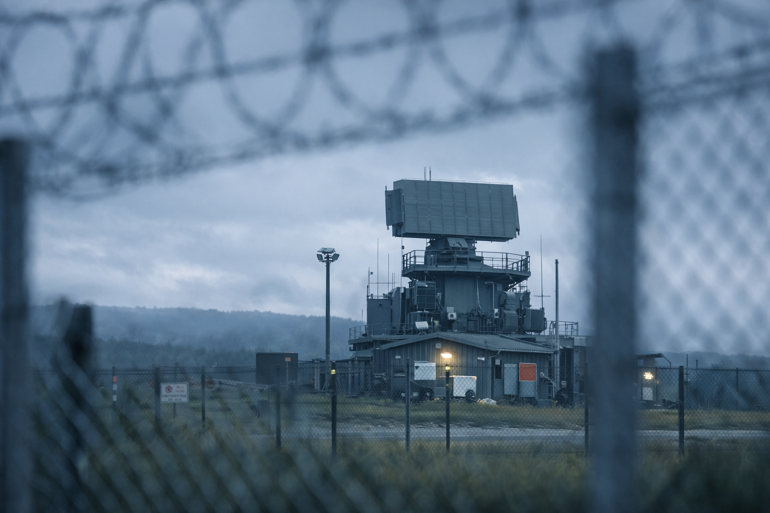
Featured image: Fixed-site radar illustration; not the AirMatrix multisensor platform.