IN Brief:
- Ericsson's ISAC system uses sensing-capable 5G infrastructure to detect and track drones independently of their cellular connections.
- Multistatic radio sensing, edge processing, and AI combine measurements from geographically separated network sites.
- Trials in the US, Finland, and Poland precede commercial sensing pilots planned for 2027 and wider deployment from 2028.
Ericsson has introduced a network-based drone detection system that uses sensing-capable 5G infrastructure to locate and track moving objects, including aircraft that are not connected to a mobile network. The Integrated Sensing and Communication (ISAC) system combines distributed radio measurements, edge computing, signal processing, and artificial intelligence to monitor low-altitude activity across large geographic areas.
The technology was introduced on 2 November following trials with telecommunications operators and technology partners in the United States, Finland, and Poland. Ericsson expects small-scale commercial pilots concentrating on sensing functions to begin in 2027, followed by broader deployments from 2028. The company intends to introduce more closely integrated sensing and communications capabilities as its technology develops towards 6G.
ISAC extends the role of mobile radio infrastructure beyond communication with connected devices. A conventional network transmits and receives information using radio signals exchanged with compatible equipment, while sensing-capable radios can also analyse signals reflected by objects in the surrounding environment. Those reflections provide measurements from which a system can estimate the presence, position, and movement of an object.
The approach allows Ericsson’s equipment to detect drones without relying on the aircraft transmitting a control signal or registering with the mobile network. Radio-frequency monitoring systems that identify drone communications depend on the characteristics and availability of those transmissions. ISAC instead obtains information from the way objects interact with the radio signals used for sensing, providing a different method of observing low-altitude activity.
Ericsson uses a multistatic architecture in which sensing transmissions and reception occur across geographically separated mobile network sites. Measurements collected from different positions provide several views of the same object, allowing the processing system to combine information about its movement. The resulting geometry can improve positioning confidence and help maintain tracking as an aircraft moves between areas covered by different radio sites.
Sensor geometry remains an important factor in the quality of those measurements. The relative positions of transmitters, receivers, and an object affect the reflections available to the system, while terrain, buildings, and other surrounding structures influence radio propagation. Combining observations from several sites can provide additional information where the viewing conditions at an individual location are less favourable.
The received radio measurements are processed to estimate target position, speed, and direction. Ericsson combines signal processing with AI-based classification and tracking, generating information that can be presented as a three-dimensional picture of detected activity. The processing architecture is intended to maintain separate tracks as objects move through the sensing coverage area, allowing operators to follow their movements over time.
Edge computing provides processing resources associated with the mobile network’s radio infrastructure. Locating these functions within the network allows observations to be processed and exchanged with other sensing sites and applications through existing communications arrangements. The combination of radio infrastructure, computing, and backhaul capacity supports the distributed operation of the sensing system.
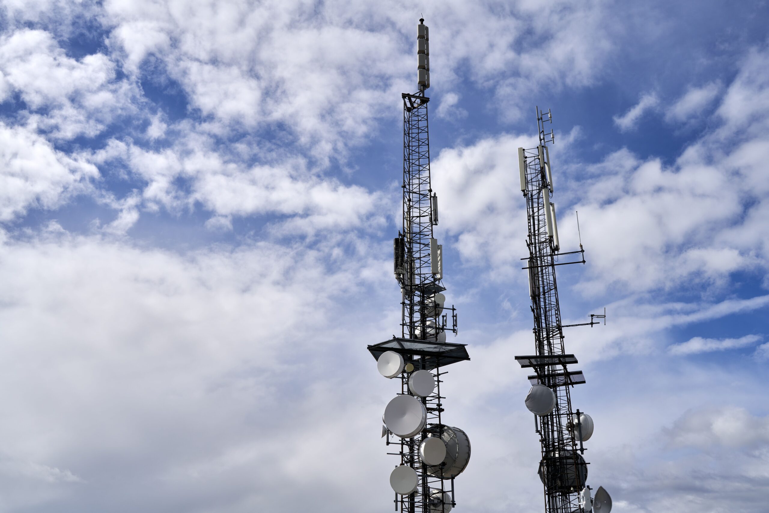
The technology uses elements of the established mobile network estate, including towers, backhaul connections, and licensed spectrum. This provides an installation base across cities, transport corridors, and strategically important locations where telecommunications infrastructure is already present. Individual sites nevertheless require suitable radio and processing capabilities to contribute sensing information; a conventional cellular installation does not automatically provide the complete ISAC function.
Tracking information can be shared through standardised interfaces with authorised security and command-and-control systems. This allows detections obtained from the mobile network to be combined with information from radar, acoustic sensors, and other surveillance equipment. The resulting operating picture can draw on measurements produced through different sensing technologies, each with its own coverage and detection characteristics.
Ericsson positions ISAC as an additional surveillance layer rather than a replacement for dedicated radar and other counter-drone sensors. A command system receiving several sources of information can correlate tracks and use the combined picture to support assessment of activity around a protected location. Any subsequent response depends on the wider security system and the authority responsible for managing it.
The manufacturer reports successful detection and tracking of small drones during validation work, including testing at kilometre-scale distances. The demonstrated performance is associated with particular equipment configurations and operating conditions. Detection range, accuracy, and track continuity in other locations will depend on factors such as the aircraft’s characteristics, radio geometry, surrounding structures, and the configuration of the sensing network.
In Arlington, Texas, Ericsson worked with AT&T to demonstrate drone detection using network-based sensing and a dashboard displaying aircraft movements. The trial detected and located multiple drones, then maintained tracks as they moved through the observed area. It demonstrated how telecommunications infrastructure could provide additional surveillance information around major venues and other locations requiring security monitoring.
A separate Finnish demonstration involved the state network operator Erillisverkot and several 5G sites in Helsinki. The participating equipment detected and tracked drones using observations from more than one network location, examining the distributed sensing approach in a public safety and counter-UAS environment. The work provided another operating configuration for evaluating coverage and target tracking.
In Poland, Ericsson collaborated with Asseco and mobile operator Play to combine network sensing with the PUSZCZYK acoustic drone detection system. The demonstration brought together radio-based measurements and acoustic information to support the detection and positioning of low-flying aircraft. The two methods derive observations from different physical characteristics, allowing their results to contribute to a combined surveillance picture.
These demonstrations place ISAC within applications extending from civilian infrastructure protection to defence and national security. Ports, transport infrastructure, energy facilities, military installations, and other sensitive locations may require information about aircraft operating close to the ground. The system is intended to provide an additional means of collecting that information using infrastructure already distributed across many of those environments.
Deployment will depend on installing compatible sensing technology, connecting processing resources, and integrating target information with the systems used by each customer. Network layout and local operating conditions will influence the coverage available, while the intended operational application will determine how sensing data is handled and shared.
Ericsson’s next development phase will move from technical demonstrations into selected commercial sensing pilots during 2027. Wider deployments are planned from 2028, with integrated communications functions to follow as the architecture progresses towards 6G. The trials establish an initial basis for evaluating how distributed mobile infrastructure can contribute to low-altitude surveillance and counter-drone operations.